


|
|
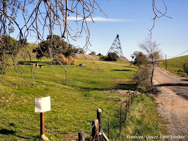
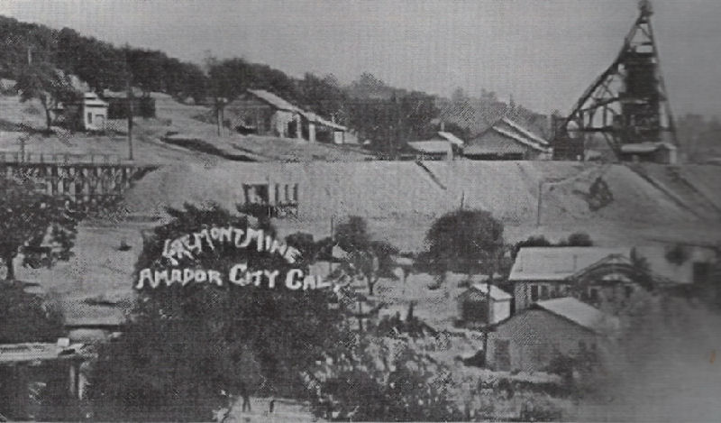
Fremont/Gover Mine, Amador City, Amador County | ||
The Fremont/Gover Mines are located at the intersection of Bunker Hill Road and New Chicago Road, just out of Amador City. These mines actually included the Fremont, Gover, Loyal Lode, North Gover, and Bons Esperanza Quartz, and a half interest in the Bona Fortuna Quartz Mine. The Gover began in the 1850's, and had varied experience. The principal work on this mine was on the Gover Mine, with a new shaft being dug on the Fremont Mine. |
|
|
|
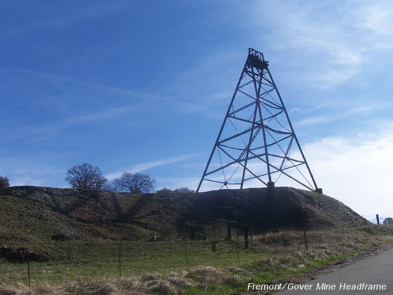
The Loyal Lode Mine had a 20-stamp mill, which in the earlier days the mines were worked with arrastres. By 1876 the miners only reached 100 feet and the claim had become idle. The Fremont and Gover mine was consolidated and the company formed in 1872 worked mainly on the Gover claim. The principal shaft reached a depth of 1,500 feet (1,050 feet vertical). The new Fremont shaft was worked to a depth of 2,950 feet, with a new mill being built in 1903. A 20-stamp mill was put into operation, but worked stopped that August. |
|
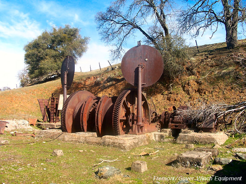
The mines was shortly taken over by the Fremont/Gover Mines Company, which was made up of former employees. Unable to continue financing the mine, the work quit in 1925. The 1,500 foot level of the Gover, running south, connected with the 1,350 foot Fremont north drift. The mill operated by the Fremont Consolidated Mining Company. Towards the end of the operations, a total of 140 men were employed, and a total production for the Fremont and Gover mine was $5,000.000. |
|
|
|
The Marker reads: |
|

|
||
Information, historic photographs courtesy of the Amador County Archives, The Historical Marker Database, and the Chronicling America Database |
||
|
|
||