AmadorGold Home and Info Amador CommunitiesOur Online ToursAmador County OutdoorsTravelers DestinationsOur Guestbook


Kennedy Mine, Jackson, Amador County

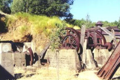
This is the big gears that held the cable for the hoist.

Excerpt Amador Ledger - Jan 26, 1900
At the 2300-foot level in the north shaft of the Kennedy mine a station is being cut. The east shaft of the Kennedy is down to a depth of about 970 feet, an average of eighteen to twenty feet being made each week.


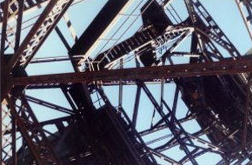
Standing under the Kennedy mine structure give you a good impression of how high it is.

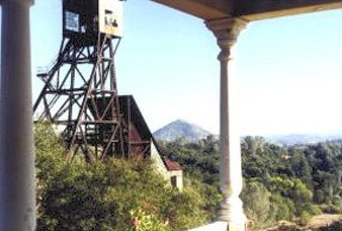
A good view from the side porch of the Kennedy mine house.

Excerpt Amador Ledger - March 9, 1900
The Kennedy mine is yielding its regular quoto of the precious metal, and has a full force at work as usual. The new east shaft is going dowa at the rate of about ninety feet a month. This is considered to be rapid progress.


Information, photographs courtesy of the Amador County Archives, The Historical Marker Database, and the Chronicling America Database


  • Alpine Mine
  • Amador Queen
  • Amador Star Mine
  • Amelia Mine
  • Anita Mine
  • Argonaut Mine
  • Balliol Mine
  • Bay State Mine
  • Belton Mine
  • Black Hill (Italian) Mine
  • Black Wonder Mine
  • Bunker Hill Mine
  • Christmas Mine
  • Clinton Mine
  • Central Eureka Mine
  • Defender Mine
  • Fern Mine
  • Ione Coal Mine
  • Jackson Gate Mine
  • Johnsen Copper Mine
  • Kennedy Mine
  • Keystone Mine
  • Leland Mine
  • Lincoln Mine
  • Lonesome Willow
  • Lucky Queen Mine
  • Manzanita Mine
  • Mahony Mine
  • Moore Mine
  • Motherlode Gold
  • Muldoon Mine
  • Newton Mine
  • Nugget Mine
  • Onita Mine
  • Pathfinder Mine
  • Penn Mine
  • Peterson Mine
  • Pioneer Mine
  • Plymouth Mine
  • Red Hill Mine
  • Seaton Mine
  • Spring Hill Mine
  • Urzula Mine
  • Volcano Gold Mine
  • Weiland Mine
  • Wildman Mine
  • Zeile Mine

  •